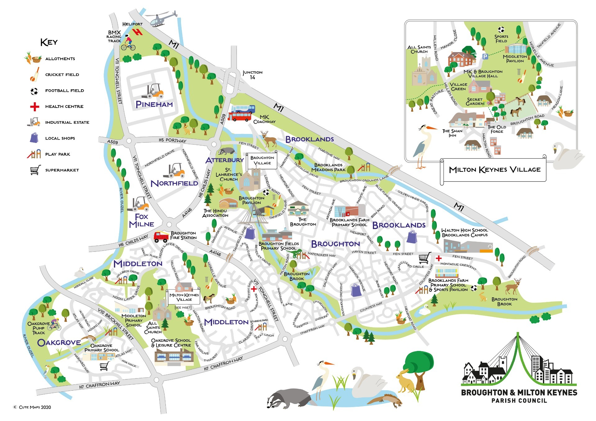


Parish Map
We are a large parish covering nearly 8000 homes with nearly 12,000 residents. A diverse area, with the original village that gave its name to Milton Keynes nestled between two of the newest developments on the east flank of the city, Oakgrove & Brooklands, the latter which is still under development.